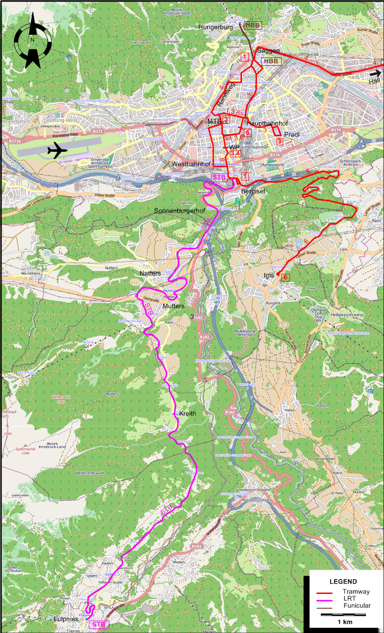
ABBREVIATIONS ON THE MAPS
| MTS |
Maria-Theresien-Straße |
WP |
Wiltener Platz |
ROUTES
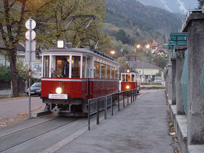
Operator: Innsbrucker Verkehrsbetriebe (IVB)
URBAN TRAM ROUTES
| 1 |
Berg Isel - Hungerburgbahn |
| 3 |
Wiltener Platz - Maria Theresien-Straße - Pradl |
| 4 |
Wiltener Platz - Maria Theresien-Straße - Rennweg - Solbad Hall |
| 6 |
Hauptbahnhof [Central Station] - Wiltener Platz - Berg Isel - Igls |
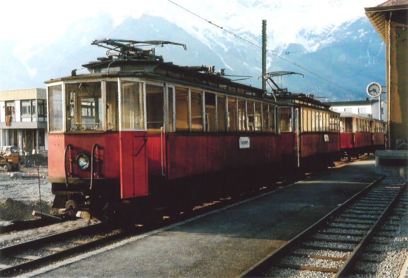
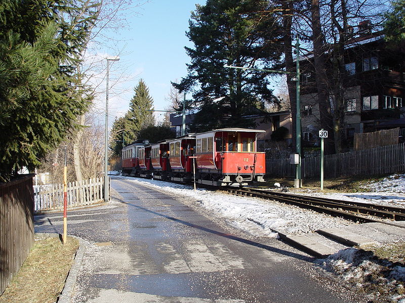
INTERURBAN ROUTE (STUBAITALBAHN)
FUNICULAR ROUTE (HUNGERBURGBAHN)
CHARACTERISTICS OF THE SYSTEM
NETWORK LENGTH
-
Tramway: ? km.
-
Stubaitalbahn: 18 km.
-
Hungerburgbahn: 840 m.
|