ABBREVIATIONS ON THE MAP
| C/B |
Commercial/Broadway |
VC |
Vancouver City College (VCC)-Clark |
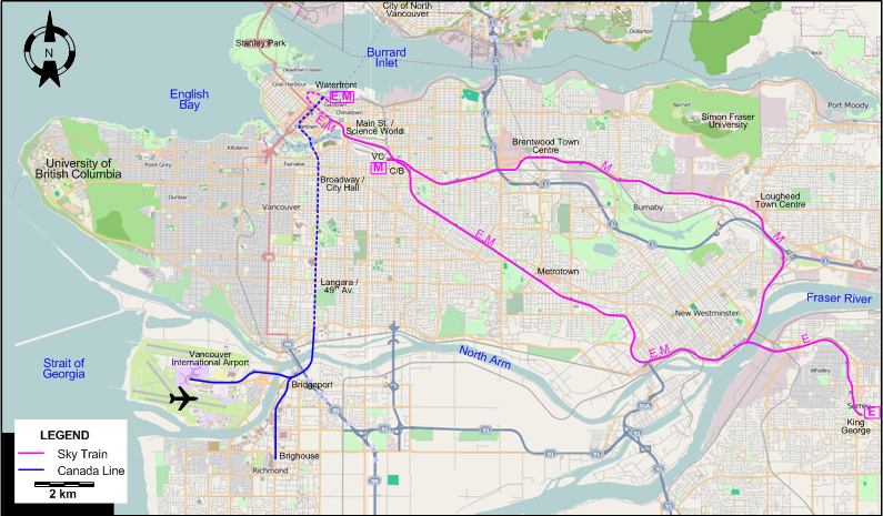
ROUTES
Owner: TransLink
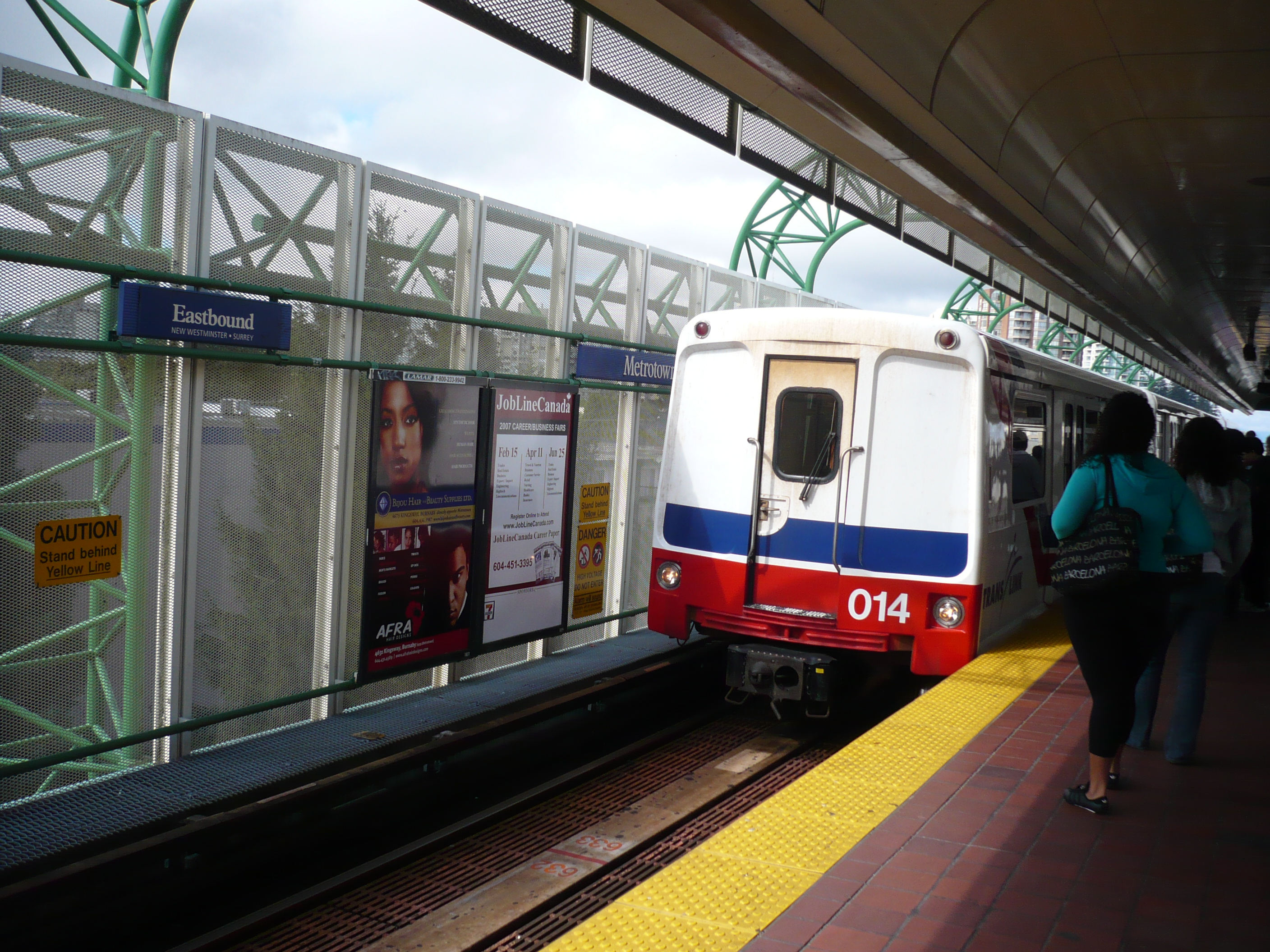
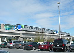
SKY TRAIN (ELEVATED/UNDERGROUND AUTOMATED LIGHT RAIL)
| E |
Expo Line |
Waterfront - Main St./Science World - Commercial/Broadway - Burnaby Metrotown - New Westminster - Surrey King George |
| M |
Millennium Line |
Waterfront - Main St./Science World - Commercial/Broadway - Burnaby Metrotown - New Westminster - Lougheed Town Centre - Brentwood Town Centre - Commercial/Broadway - VCC-Clark |
The route designations E and M are for convenience only, and are not used by TransLink.
CANADA LINE (CLASSIC UNDERGOUND/METRO LINE)
| Waterfront - Broadway/City Hall - Langara/49th Av. - Bridgeport - [Vancouver International Airport] / [Richmond Brighouse] |
CHARACTERISTICS OF THE SYSTEM
NETWORK LENGTH
- SkyTrain: 68.7 km.
- Canada Line: 19.2 km.
|