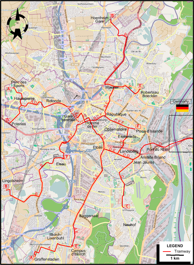
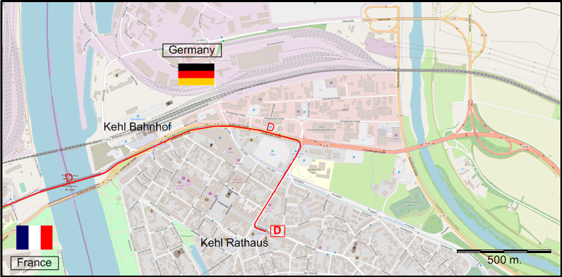
INSET: KEHL (In Germany)
TRAM ROUTES
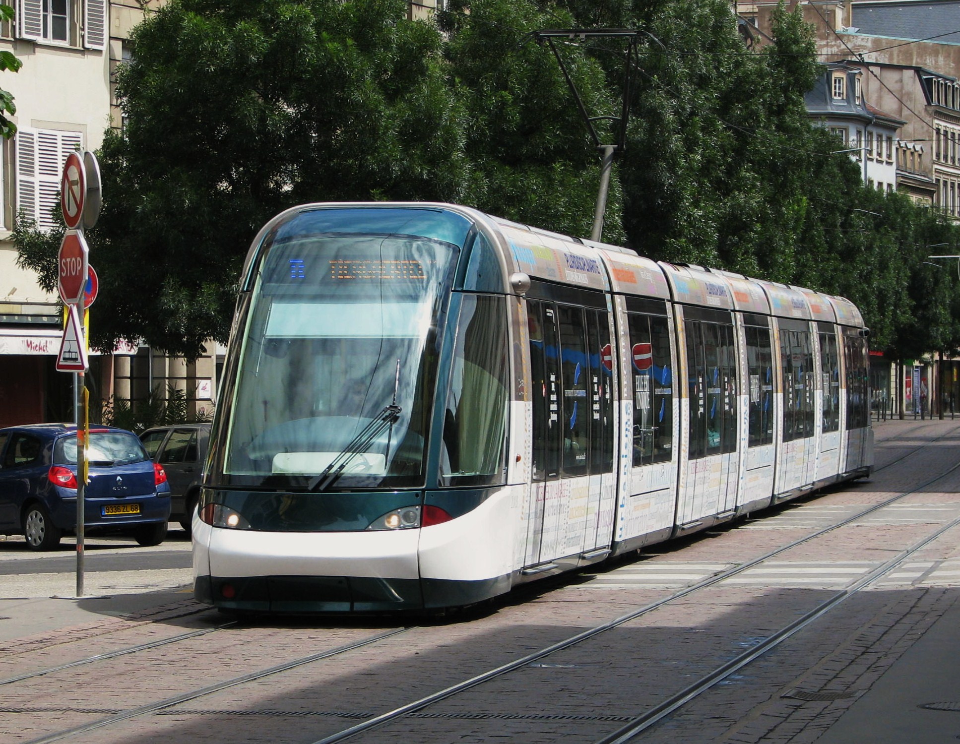
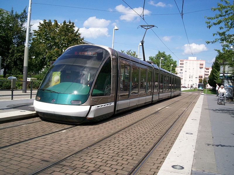
Operator: Compagnie des transports strasbourgeois (CTS)
| A |
Parc des Sports - Hautepierre - Rotonde - Gare centrale (Central Station) - Homme de fer -
Etoile - Baggersee - Campus d’Illkirch - Illkirch-Lixenbuhl - Graffenstaden |
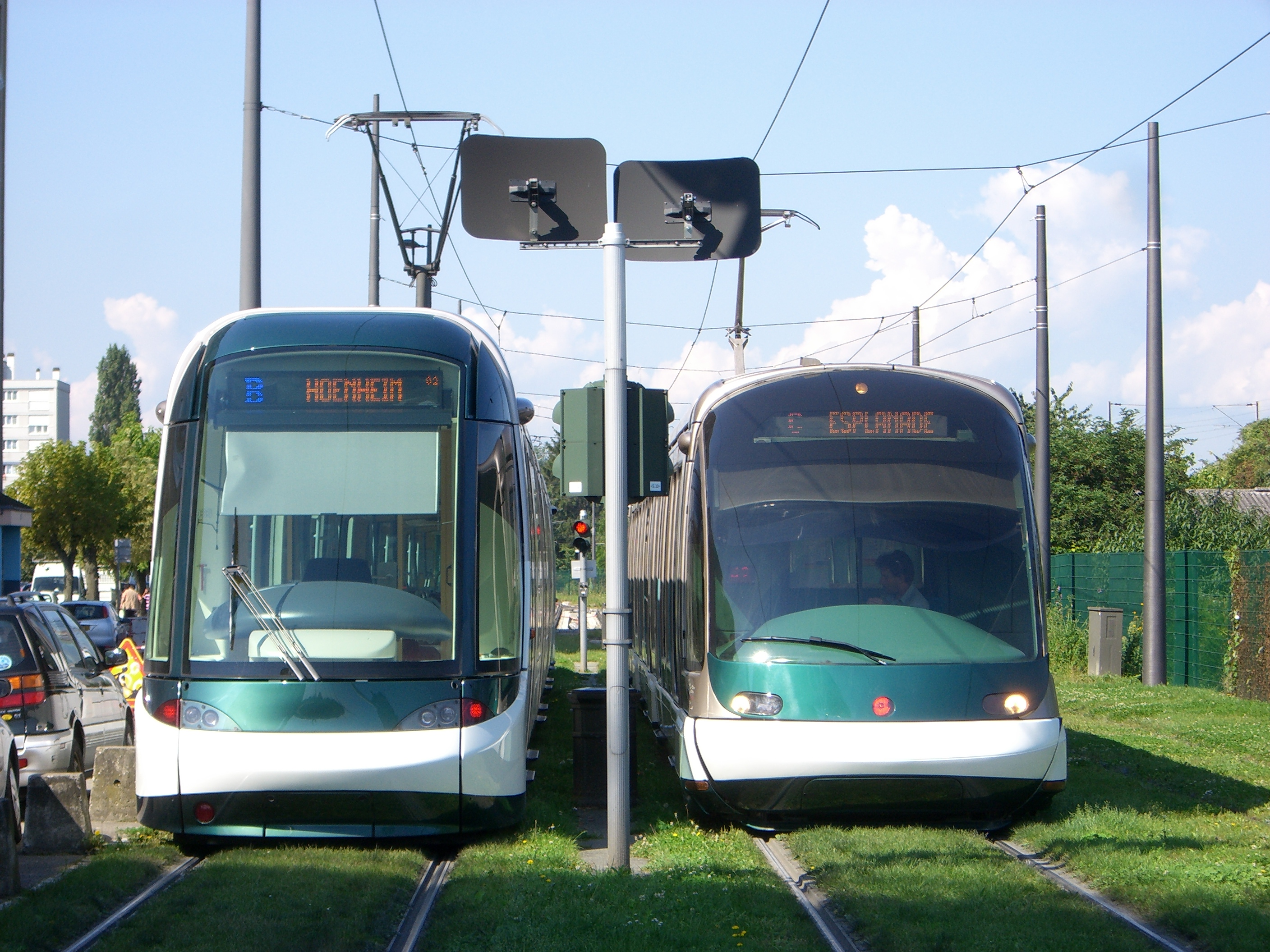
| B |
Hoenheim Gare (Hoenheim Station) - Wacken - République - Homme de fer - Elsau - Lingolsheim |
| C |
Gare centrale (Central Station) - Homme de fer - République - Observatoire - Esplanade - Landsberg - Jean Jaurès -
Neuhof (Le Polygone) |
| D |
Poteries - Rotonde - Gare centrale (Central Station) - Homme de fer - République - Observatoire - Esplanade - Landsberg - Jean Jaurès -
Aristide Briand - Port du Rhin - Kehl Bahnhof (Station) - Kehl Rathaus (City Hall) [In Germany] |
| E |
Robertsau Boecklin - Wacken - République - Observatoire - Esplanade -
Landsberg - Etoile - Baggersee - Campus d’Illkirch |
| F |
Elsau - Homme de fer - République - Observatoire - Place d’Islande |
NETWORK LENGTH
|