INSET: CENTRAL MANCHESTER
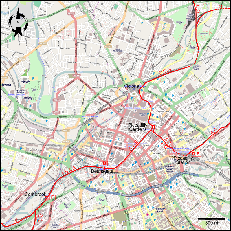
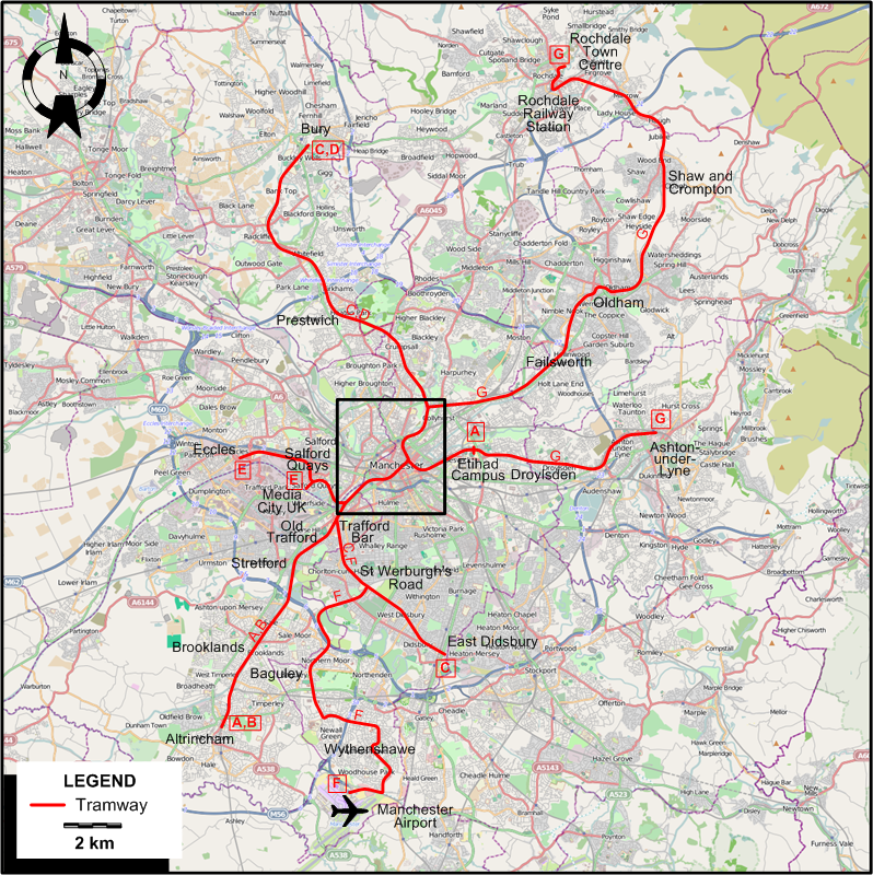
TRAM ROUTES
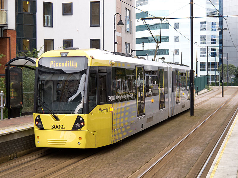
Operator: The RATP Group , on behalf of the
Transport for Greater Manchester (TfGM)
TRAM ROUTES (TRAMLINK)
| A |
Altrincham - Etihad Campus |
Altrincham - Brooklands - Stretford - Old Trafford - Trafford Bar - Cornbrook - Deansgate -
Piccadilly Gardens - Piccadilly Station - Etihad Campus |
| B |
Altrincham - Deansgate |
Altrincham - Brooklands - Stretford - Old Trafford - Trafford Bar - Cornbrook - Deansgate |
| C |
Bury - East Didsbury |
Bury - Prestwich - Victoria Station - Piccadilly Gardens - Deansgate - Cornbrook -
Trafford Bar - St Werburgh's Road - East Didsbury |
| D |
Bury - Piccadilly Station |
Bury - Prestwich - Victoria Station - Piccadilly Gardens - Piccadilly Station |
| E |
Eccles - Piccadilly Station |
(Eccles - Salford Quays) / Media City UK - Cornbrook - Deansgate - Piccadilly Gardens - Piccadilly Station |
| F |
Manchester Airport - Cornbrook |
Manchester Airport - Wythenshawe - Baguley - St Werburgh's Road - Trafford Bar - Cornbrook |
| G |
Rochdale Town Centre - East Didsbury |
Rochdale Town Centre - Rochdale Station - Shaw and Crompton - Oldham - Failsworth -
Victoria Station - Piccadilly Gardens - Piccadilly Station - Etihad Campus - Droylsden - Ashton-under-Lyne |
NETWORK LENGTH
- Tramway (Metrolink): 92.5 km.
|