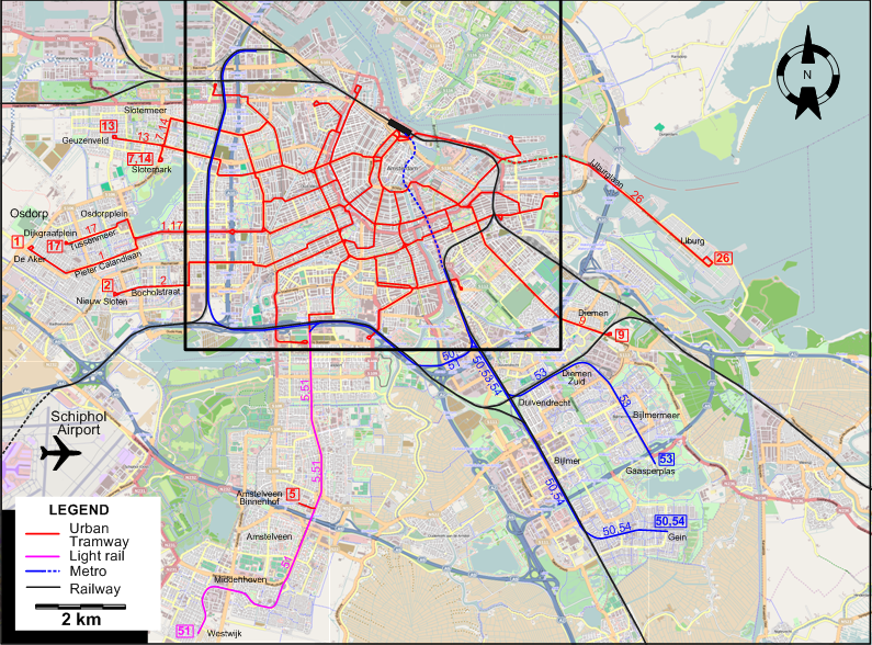
INSET: DOWNTOWN AMSTERDAM
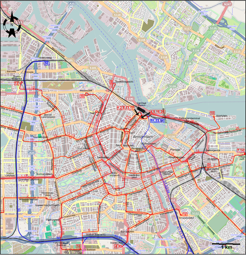
| ACS |
Albert Cuypstraat |
FHP |
Frederik Hendrikplantsoen |
| FBS |
Ferdinand Bolstraat |
VBS |
Van Baerlestraat |
ROUTES
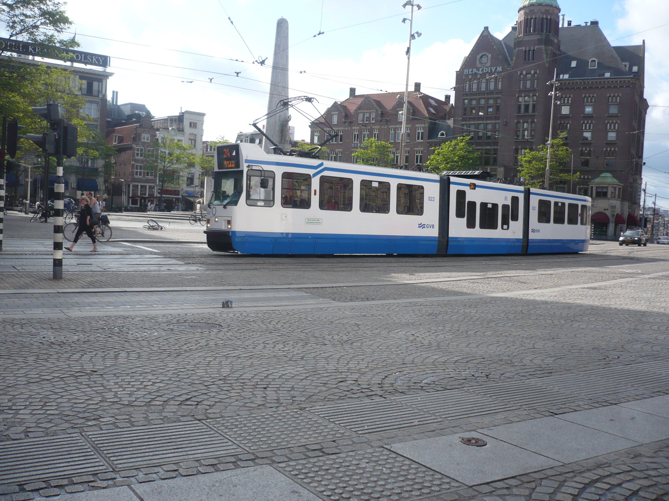
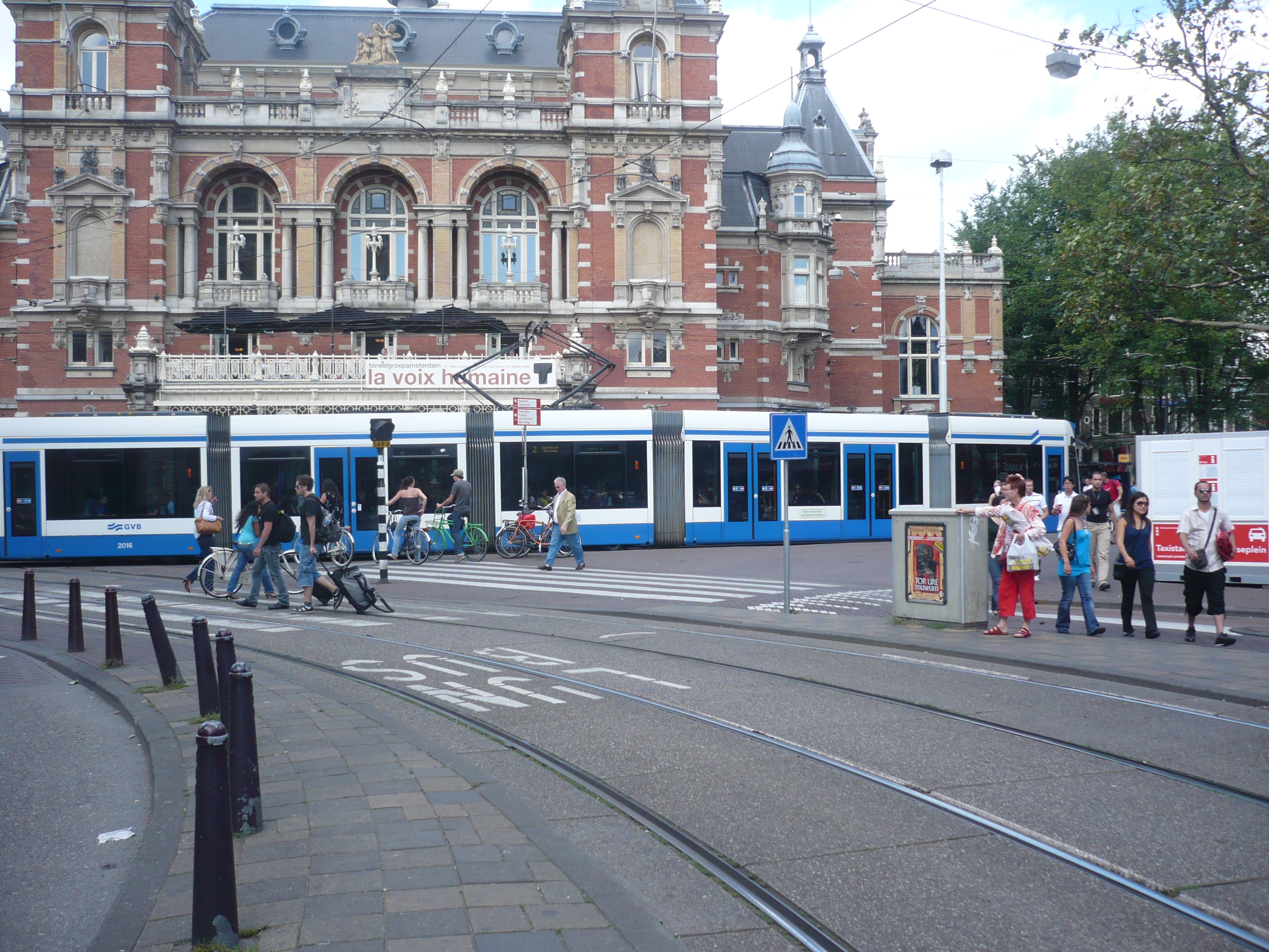
Operator: Gemeentevervoerbedrijf (GVB)
URBAN TRAM ROUTES
| 1 |
Centraal Station – Voorburgwal - Paleis - Spui - Leidsestraat - Leidseplein - Overtoom - Surinameplein -
Cornelius Lelylaan - Pieter Calandlaan - Osdorp (De Aker) |
| 2 |
Centraal Station – Voorburgwal - Paleis - Spui - Leidsestraat - Leidseplein - Rijksmuseum - Constantijn Huygensstraat - Willemsparkweg - Hoofddorpplein - Heemstedestraat -
Bocholstraat - Nieuw Sloten |
| 3 |
Zoutkeetsgracht - Marnixstraat - Frederik Hendrikplantsoen - Bilderdijkstraat - Constantijn Huygensstraat – Van Baerlestraat - Ceintuurbaan –
‘s-Gravesandeplein - Oosterpark - Wijttenbachstraat - Stat. Muiderpoort |
| 4 |
Centraal Station – Damrak - Dam - Rokin - Muntplein - Rembrandtplein - Utrechtsestraat – Frederiksplein - Van Woustraat - Rooseveltlaan - Europaplein - Station RAI |
| 5 |
Centraal Station – Voorburgwal - Paleis - Spui - Leidsestraat - Leidseplein - Rijksmuseum - Van Baerlestraat - Beethovenstraat -
Station Zuid WTC - Amstelveen Binnenhof [Between Station Zuid - Amstelveen operated like a light rail line] |
| 7 |
Sloterpark – Slotermeer - Bos en Lommerweg - Bos en Lommerplein - Hoofdweg - Kinkerstraat - Marnixstraat - Leidseplein -
Weteringschans - Frederiksplein - Sarphatistraat - ‘s-Gravesandeplein - Oosterpark - Wijttenbachstraat - Stat. Muiderpoort - Insulindeweg - Flevopark |
| 9 |
Centraal Station – Damrak - Dam - Rokin – Muntplein - Rembrandtplein - Waterlooplein - Plantage – Alexanderplein - Linnaeusstraat - Middenweg - Diemen |
| 10 |
Westerpark - Nassaukade - Marnixstraat - Leidseplein - Weteringschans – Frederiksplein - Sarphatistraat –
Alexanderplein - Czaar Peterstraat - Azartplein |
| 12 |
Station Sloterdijk - Admiraal de Ruijterweg - De Clercqstraat - Bilderdijkstraat - Constantijn Huygensstraat – Van Baerlestraat - Ceintuurbaan –
Ferdinand Bolstraat - Churchillaan - Vrijheidslaan - Amstelstation |
| 13 |
Centraal Station - Voorburgwal - Paleis - Rozengracht – De Clercqstraat - Jan Evertsenstraat - Mercatorplein - Jan Evertsenstraat -
Burg. Röellstraat - Geuzenveld |
| 14 |
Sloterpark – Slotermeer - Bos en Lommerweg - Admiraal de Ruijterweg - De Clercqstraat - Rozengracht - Paleis -
Damrak - Dam - Rokin – Muntplein - Rembrandtplein - Waterlooplein - Plantage – Alexanderplein - Mauritskade - Zeeburgerdijk - Javaplein - Insulindeweg - Flevopark |
| 16 |
Centraal Station – Damrak - Dam - Rokin - Muntplein - Vijzelstraat - Albert Cuypstraat - De Lairessestraat -
Station Haarlemmeer - Amstelveenseweg - Stadionplein - VU Medisch Centrum - De Boelelaan / Vrije Universiteit |
| 17 |
Centraal Station – Voorburgwal - Paleis - Rozengracht – Marnixstraat - Kinkerstraat – Hoofdweg - Surinameplein -
Cornelius Lelylaan - Osdorpplein - Tussenmeer - Osdorp (Dijkgraafplein) |
| 26 |
Centraal Station – Piet Heinkade - Piet Heintunnel - IJburglaan - IJburg |
METRO ROUTES
| 50 |
Isolatorweg - Station Sloterdijk - Station Lelylaan - Station Zuid - Station RAI - Van der Madeweg - Bijlmer - Gein |
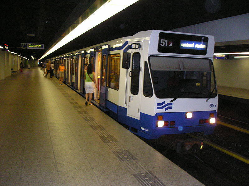
| 51 |
Centraal Station - Nieuwmarkt - Waterlooplein - Weesperplein - Amstelstation – Station RAI - Station Zuid - Amstelveen - Middenhoven - Westwijk [Between Station Zuid - Westwijk operated like a light rail line] |
| 53 |
Centraal Station - Nieuwmarkt - Waterlooplein - Weesperplein - Amstelstation – Van der Madeweg - Diemen Zuid - Gaasperplas |
| 54 |
Centraal Station - Nieuwmarkt - Waterlooplein - Weesperplein - Amstelstation – Van der Madeweg - Bijlmer - Gein |
CHARACTERISTICS OF THE SYSTEM
NETWORK LENGTH
- Urban trams: 94 km.
- Metro + Light rail: 42.5 km
|