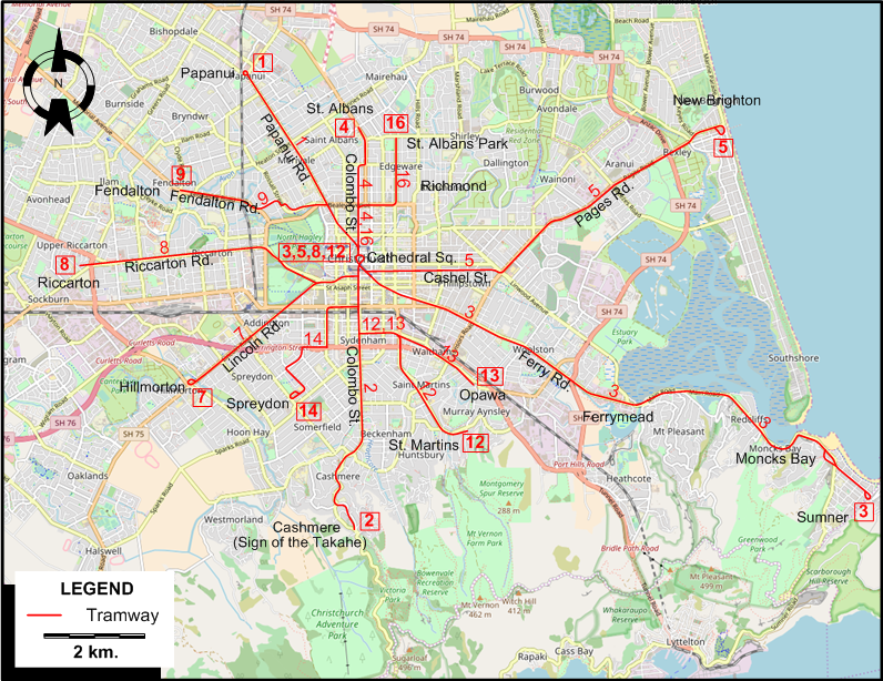
TRAM ROUTES
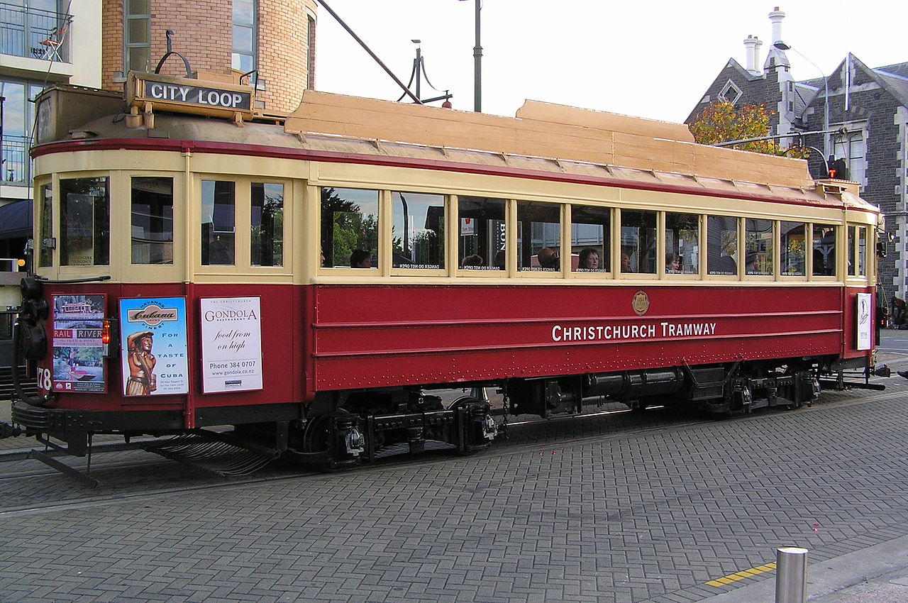
Operator: Christchurch Transport Board
NB: Eight of the twelve tram routes in Christchurch were part of through operations: instead of terminating at Cathedral Square,
they simply changed their route number and continued on the appropriate route. These routes are shown below under the
combined route numbers, e.g. 1/2 shows route 1 between Papanui & Cathedral Square and route 2 between Cathedral Square & Cashmere.
| 1/2 |
Papanui Rd. - Papanui Rd. - Cathedral Square - Colombo St. - Cashmere (Sign of the Takahe) |
| 3 |
Cathedral Square - Ferry Rd. - Ferrymead - Moncks Bay - Sumner |
| 4/7 |
St. Albans - Colombo St. - Cathedral Square - Lincoln Rd. - Hillmorton |
| 5 |
Cathedral Square - Cashel St. - Pages Rd. - New Brighton |
| 8 |
Cathedral Square - Riccarton Rd. - Riccarton |
| 9/13 |
Fendalton - Fendalton Rd. - Cathedral Square - Colombo St. - Opawa |
| 12 |
Cathedral Square - Colombo St. - St. Martins |
| 14/16 |
Spreydon - Colombo St. - Cathedral Sq. - Colombo St. - Richmond - St. Albans Park |
DISCONTINUATION DATES OF TRAM LINES
- 1946 May 19: 12
- 1950 Feb. 5: 9/13
- 1952 Oct. 18: 5
- 1952 Dec. 6: 3
- 1953 June 14: 8
- 1953 June 21: 14/16
- 1953 July 26: 4/7
- 1954 Sept. 10: 1/2
CHARACTERISTICS OF THE SYSTEM
NETWORK LENGTH
|