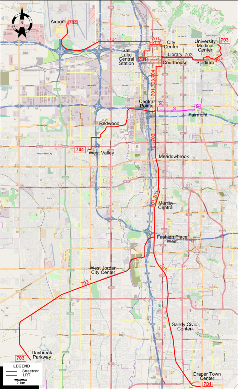
STREETCAR ROUTE
Operator: UTA (Utah Transit Authority)
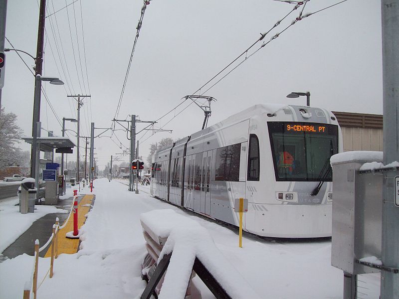
| S |
S Line |
Central Pointe - Fairmont |
LIGHT RAIL ROUTES
Operator: UTA (Utah Transit Authority)
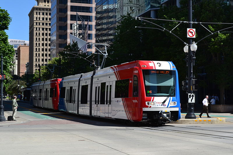
TRAX
| 701 |
SLC / Sandy Line (Blue Line) |
Draper Town Center - Sandy Civic Center - Fashion Place West - Murray Central - Meadowbrook -
Central Pointe - Courthouse - City Center - Salt Lake Central Station |
| 703 |
Mid Jordan / University Line (Red Line) |
Daybreak Parkway - West Jordan City Center - Fashion Place West - Murray Central -
Meadowbrook - Central Pointe - Courthouse - Library - Stadium - University Medical Center |
| 704 |
West Valley Line (Green Line) |
West Valley - Redwood - Central Pointe - Courthouse - City Center - Airport |
CHARACTERISTICS OF THE SYSTEM
NETWORK LENGTH
- Streetcar: 3.6 km.
- LRT lines: 72 km.
|