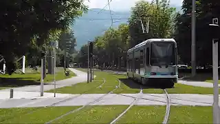
VIDEO
 |
 |
 |
| Above: YouTubeCA video - Tramway de Grenoble - Grenoble tram (TAG) - Length: 6:29 mins. | Above: YouTubeCA video - Grenoble Tram + Trolleybus - 1992 & 1993 - Length: 12:44 mins. | Above: YouTubeCA video - Le Tramway de Grenoble - Die Straßenbahn von Grenoble - Length: 31:15 mins. |
PHOTO
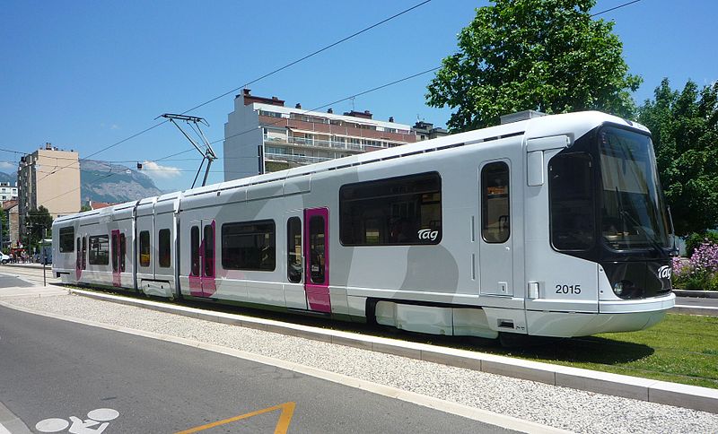 |
MAP

I created the above map by overlaying OpenStreetMap (OSM) maps with my own data. The underlying map data is © OpenStreetMap contributors, licensed under the Open Database License (ODbL).
Please note that the OSM map used as a template for this map corresponds to the situation at the time the map was downloaded and may show features that did not exist at the time the GS Tram Site is supposed to show. In particular, it may show bridges and highways that were built later.
TRAM ROUTE
Operator: SEMITAG
| A | La Poya - Fontaine - Gares (Stations) - Alsace-Lorraine - Chavant - Grand’ Place |
CHARACTERISTICS OF THE SYSTEM
NETWORK LENGTH
- Tramway: 8.8 km.
HISTORY
- Urban tramway (First generation): (electric): 1897 - 31 Aug. 1952.
- Urban tramway (Second generation): (electric): 3 Aug. 1987 - today.
- Interurban tramways: (steam): 1894 - 1946; (electric): 1902 - 1948.
GAUGE
- Tramway (first generation): 1000 mm.
- Tramway (second generation): 1435 mm.
- Interurban tramways: 1000 mm.
SOURCES
- Guirimand, P. & Bouillin, P. Les tramways de Grenoble, 1858 - 1955. Grenobles, Librairies des Alpes, [?].
- Muller, G.& Wyse, W.J. "The TAG - Europe's newest tramway", Modern Tramway and Light Rail Transit, Jan. 1988 (51: 601), p.5-21.
- Pulling, N. "Systems Factfile No.25: Grenoble, France", Tramways & Urban Transit, Oct. 2009 (72: 862), p.387-389.
- Thompson, A. "Systems Factfile No.212: Grenoble, France", Tramways & Urban Transit, June 2025 (88: 1050), p.229-233.
- Wansbeek, C.J. "Grenoble: Fast tramway growth in pioneering city", Tramways & Urban Transit, June 2006 (69: 822), p.220-233.
WIKIS
- Ancien tramway de Grenoble
- Société grenobloise de tramways électriques
- Tramway de Grenoble
- Tramway de Grenoble à Chapareillan
- Tramway Grenoble - Villard-de-Lans
- Transports de l'agglomération grenobloise
- Voies ferrées du Dauphiné
WEB SITES
Copyright Gabor Sandi 1998-2026
Disclaimer: Everything on this site was written and/or prepared at the author's discretion. The author has tried to be accurate where facts are presented, but this does not mean that these facts are necessarily accurate. People needing more reliable information should refer to appropriate sources presented, on the Internet or elsewhere, by authoritative professional or academic bodies.
To get in touch with the webmaster, send an e-mail to g_sandi at hotmail.com.
Flags on this site are from the FOTW Flags Of The World website.