VIDEOS
 |
 |
 |
| Above: YouTubeCA video - Trams à Strasbourg, France - Length: 10:26 mins. | Above: YouTubeCA video - CTS Strasbourg - Strasbourg Tram Observations 10.14.19 - Length: 10:04 mins. | Above: YouTubeCA video - Trams of Strasbourg! - Length: 14:16 mins. |
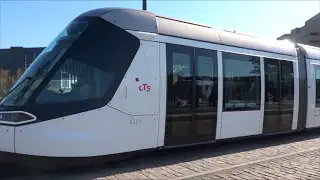
PHOTOS
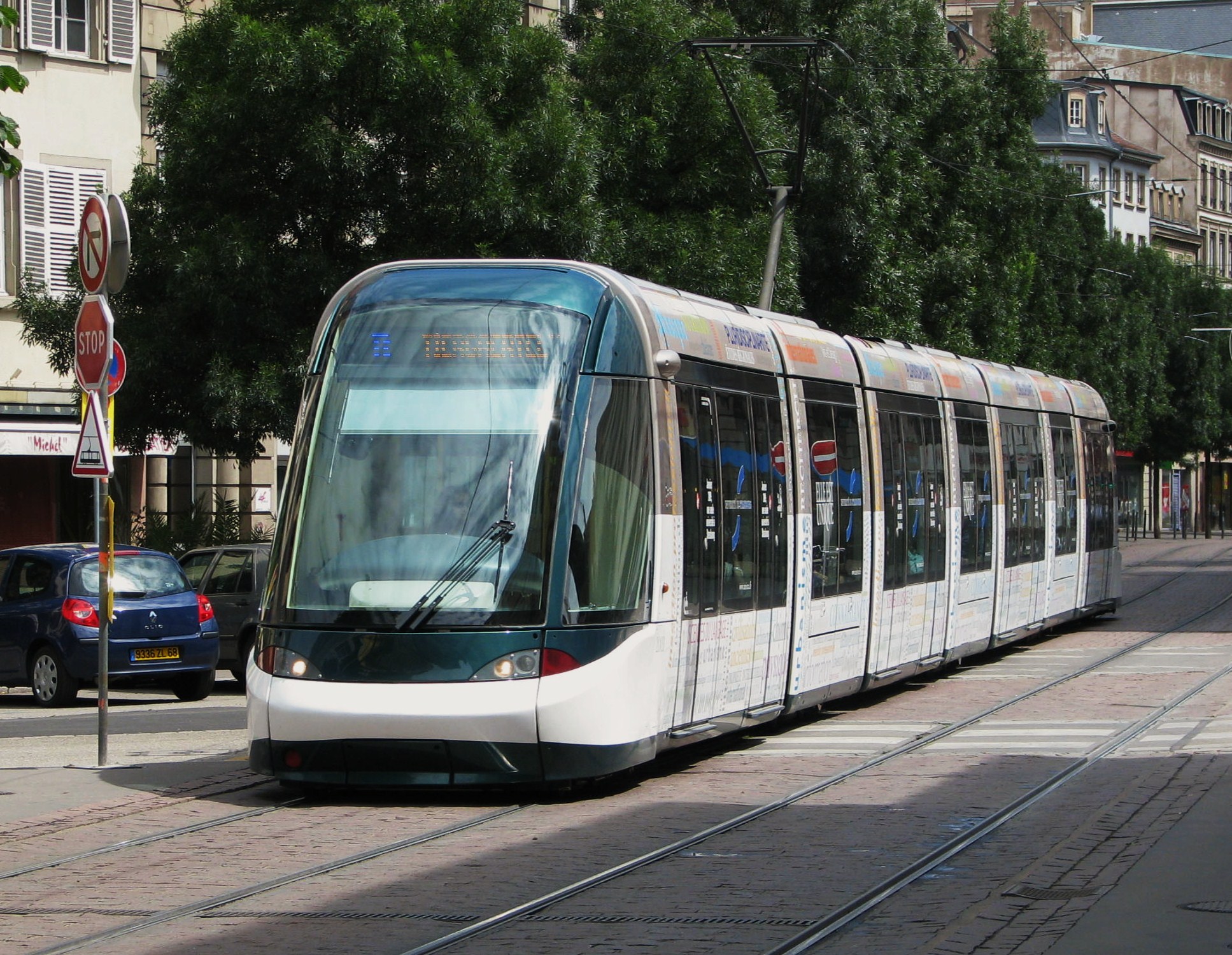 |
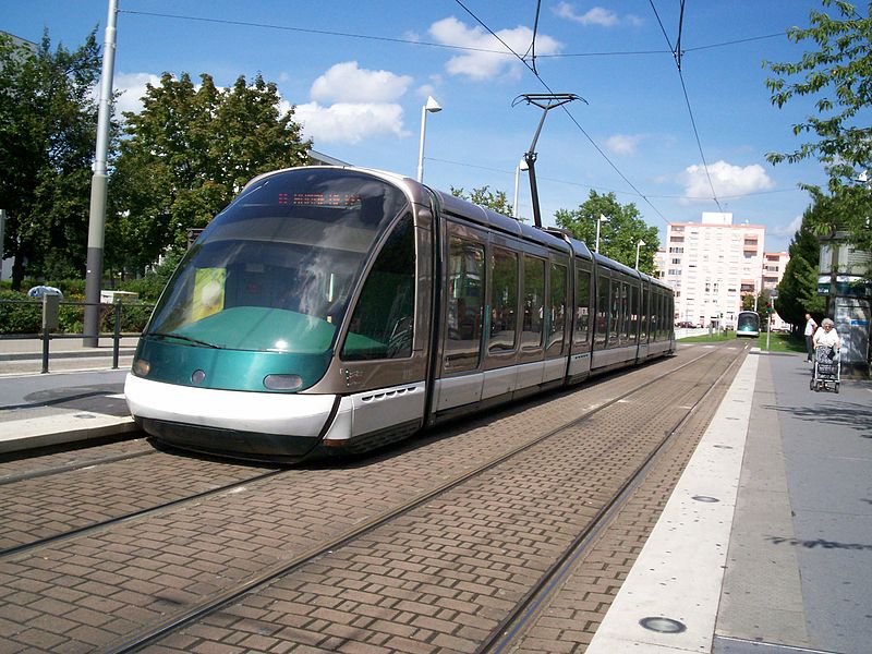 |
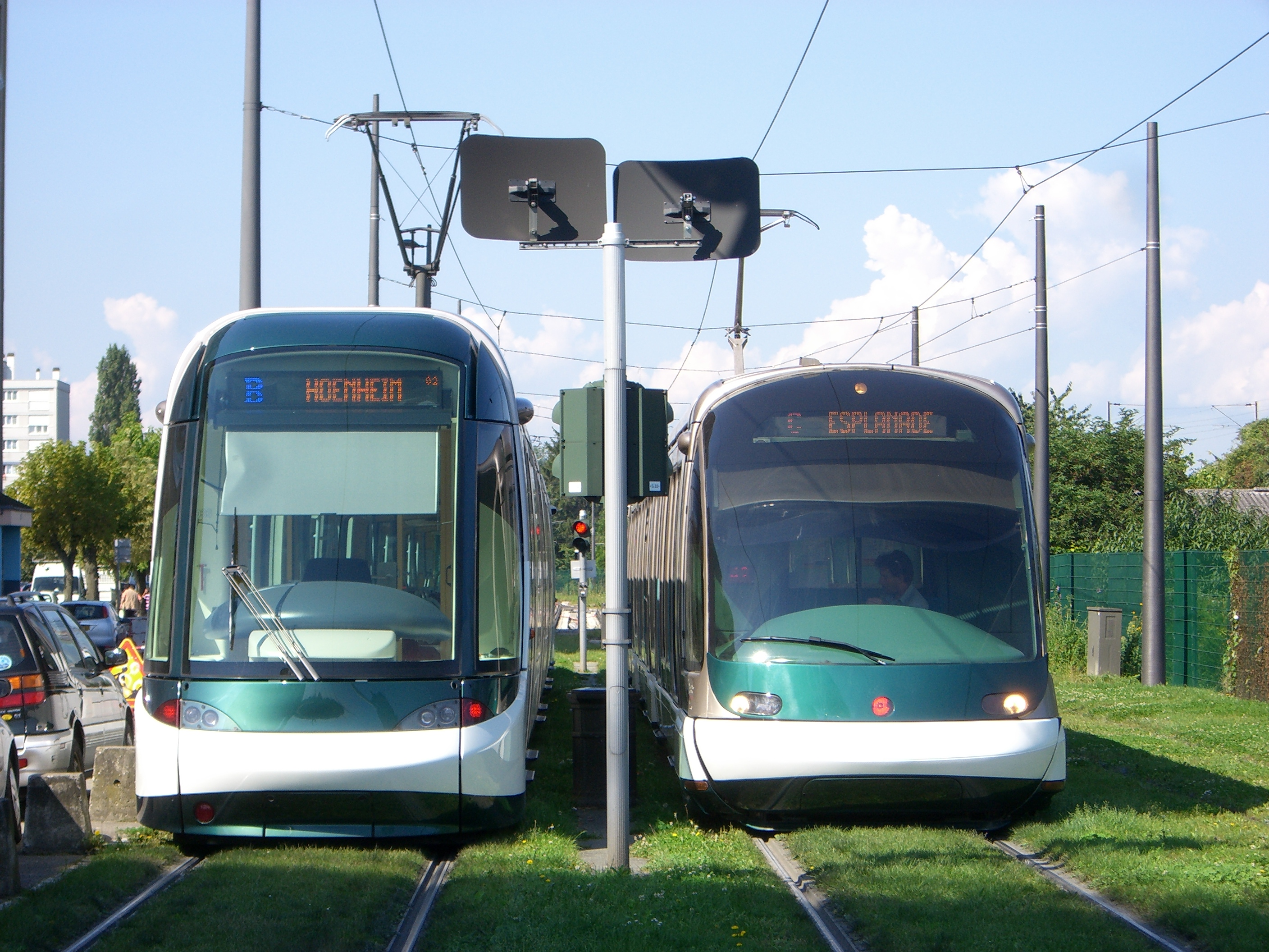 |
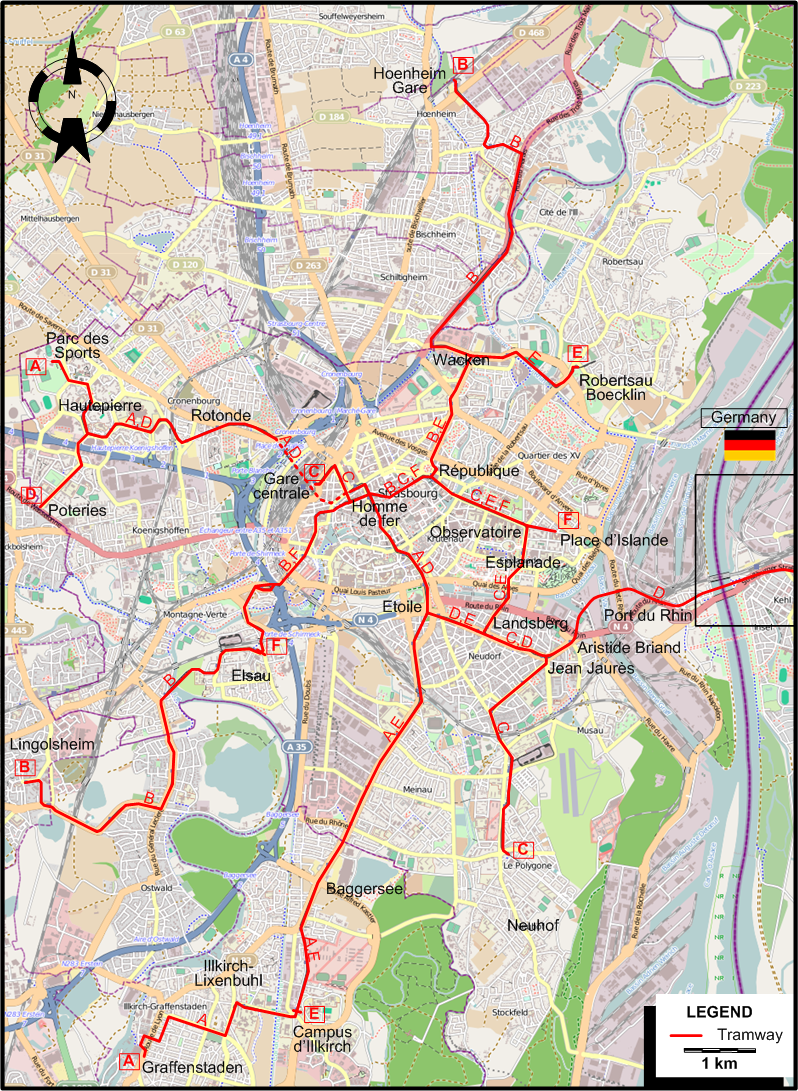
MAP
INSET: KEHL (In Germany)
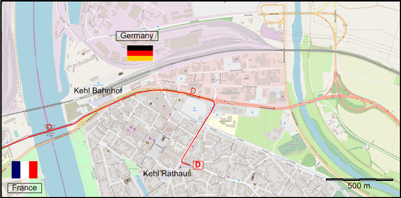
I created the above maps by overlaying OpenStreetMap (OSM) maps with my own data. The underlying map data is © OpenStreetMap contributors, licensed under the Open Database License (ODbL).
Please note that the OSM maps used as a template for these maps corresponds to the situation at the time the map was downloaded and may show features that did not exist at the time the GS Tram Site is supposed to show. In particular, it may show bridges and highways that were built later.
TRAM ROUTES
Operator: Compagnie des transports strasbourgeois (CTS)>
| A | Parc des Sports - Hautepierre - Rotonde - Gare centrale (Central Station) - Homme de fer - Etoile - Baggersee - Campus d’Illkirch - Illkirch-Lixenbuhl - Graffenstaden |
| B | Hoenheim Gare (Hoenheim Station) - Wacken - République - Homme de fer - Elsau - Lingolsheim |
| C | Gare centrale (Central Station) - Homme de fer - République - Observatoire - Esplanade - Landsberg - Jean Jaurès - Neuhof (Le Polygone) |
| D | Poteries - Rotonde - Gare centrale (Central Station) - Homme de fer - République - Observatoire - Esplanade - Landsberg - Jean Jaurès - Aristide Briand - Port du Rhin - Kehl Bahnhof (Station) - Kehl Rathaus (City Hall) [In Germany] |
| E | Robertsau Boecklin - Wacken - République - Observatoire - Esplanade - Landsberg - Etoile - Baggersee - Campus d’Illkirch |
| F | Elsau - Homme de fer - République - Observatoire - Place d’Islande |
CHARACTERISTICS OF THE SYSTEM
NETWORK LENGTH
- Urban tramway: 46.7 km.
HISTORY
- Urban tramway (first generation): (horse-drawn): 22 July 1878 - 2 Feb. 1926; (steam) 1878 - after 1895; (electric) 13 July 1895 - 30 Apr. 1960.
- Urban tramway (second generation): 26 Nov. 1994 - today.
- Interurban trams:
- Strasbourg - Marckolsheim line (steam originally, then electric after 1925/26): 20 Oct. 1886 - 1 Oct. 1955 (interrupted in 1944 due to war damage, restarted 4 Nov. 1945, but only as far as Boofzheim)
- Strasbourg - Ottrott line (always electric): 16 Jan. 1930 - 31 March 1955
- Strasbourg - Truchtersheim line (steam originally, then electric after 1925/26): 30 Sept. 1887 - 4 Oct. 1953 (with interruption, 1 Oct. 1937 - 7 Aug. 1938) (branch Dingsheim - Westhoffen, 1 July 1903 - 19 Aug. 1953)
Note: As Strasbourg belonged to Germany before 1918, its tram network originally extended across the Rhine to the city of Kehl and the countryside beyond. But these connections were interrupted in 1918, and never restarted. Tram service using modern trams was, however, restored across the Rhine on 28 Apr. 2017.
GAUGE
- Tramway (first generation): mostly 1000 mm. (horse tramways, some steam tramways and some early electric tramways: 1435 mm.)
- Tramway (second generation): 1435 mm.
SOURCES
- Haydock, D. "French progress: Strasbourg's futuristic tramway", Light Rail Review 6, 1994, p. 41-50.
- Muller, G. Génération tram. Strasbourg: Oberlin, 2000.
- Pulling, N. "Systems Factfile No.15: Strasbourg, France", Tramways & Urban Transit, Dec. 2008 (71: 852), p.463-465.
- Pulling, N. "Systems Factfile No.48: Strasbourg, France", Tramways & Urban Transit, Sept. 2011 (74: 885), p.355-358.
- Pulling, N. "Systems Factfile No.149: Strasbourg, France", Tramways & Urban Transit, March 2020 (83: 987), p.105-109.
- Robert, J. Histoire des transports dans les villes de France. Neuilly-sur-Seine: J. Robert, 1974.
- Wilson, J.S. "Strasbourg opens its Eurotram service", Light Rail & Modern Tramway, Apr. 1995 (58: 688), p.90-92.
WIKIS
WEB SITES
Copyright Gabor Sandi 1998-2026
Disclaimer: Everything on this site was written and/or prepared at the author's discretion. The author has tried to be accurate where facts are presented, but this does not mean that these facts are necessarily accurate. People needing more reliable information should refer to appropriate sources presented, on the Internet or elsewhere, by authoritative professional or academic bodies.
To get in touch with the webmaster, send an e-mail to g_sandi at hotmail.com.
Flags on this site are from the FOTW Flags Of The World website.