VIDEOS
 |
 |
 |
| Above: YouTubeCA video - Footage of the Miami Metrorail System - Length: 10:48 mins. | Above: YouTubeCA video - Footage of the Miami Metromover System - Length: 24:48 mins. | Above: YouTubeCA video - Miami, Florida - Miami International Airport MIA Mover (2019) - Length: 18:00 mins. |
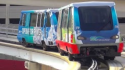
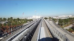
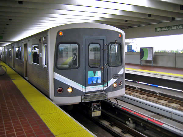
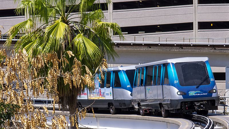
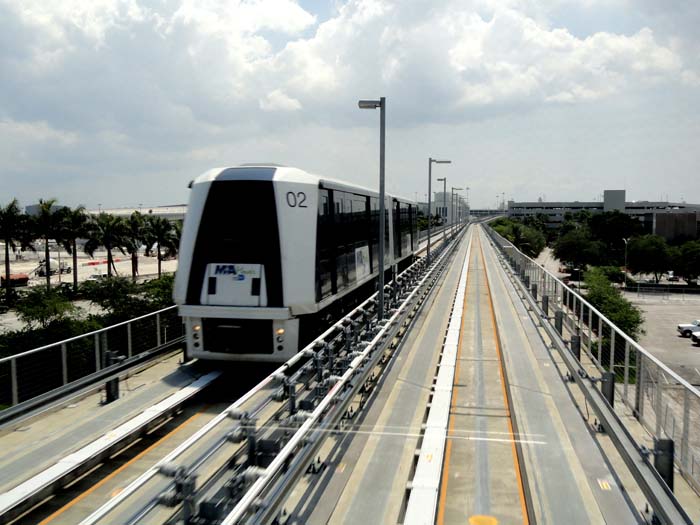
PHOTOS
 |
 |
 |
MAPS
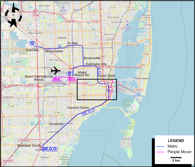
INSET: CENTRAL MIAMI

I created the above maps by overlaying OpenStreetMap (OSM) maps with my own data. The underlying map data is © OpenStreetMap contributors, licensed under the Open Database License (ODbL).
Please note that the OSM maps used as a template for these maps corresponds to the situation at the time the map was downloaded and may show features that did not exist at the time the GS Tram Site is supposed to show. In particular, it may show bridges and highways that were built later.
ROUTES
RAPID TRANSIT (METRO) ROUTES
Operator: Miami Dade Transit (MDT)
| DE | Downtown Express | Government Center - Brickell - Dadeland South [Stops at only some stations] |
| G | Green Line | Palmetto - Okeechobee - Tri-Rail / Metrorail Transfer - Brownsville - Earlington Heights - Santa Clara - Civic Center - Government Center - Brickell - Coconut Grove - University - Dadeland South |
| O | Orange Line | Miami Airport Station - Earlington Heights - Santa Clara - Civic Center - Government Center - Brickell - Coconut Grove - University - Dadeland South |
AUTOMATED PEOPLE MOVER (METROMOVER) ROUTES
Operator: Miami Dade Transit (MDT)
| BL | Brickell Loop | Financial District - Brickell - Riverwalk - [Counterclockwise loop: College/Bayside - Government Center] - Riverwalk - Brickell - Financial District |
| IL | Inner Loop | [Clockwise loop: Government Center - College/Bayside - Miami Av. - Government Center] |
| OL | Omni Loop | School Board - Museum Park - [Counterclockwise loop: College/Bayside - Government Center - College/Bayside] - Museum Park - School Board |
AUTOMATED PEOPLE MOVER (MIA MOVER) ROUTE
Operator: Miami-Dade Aviation Departmen
| MIA | MIA Mover | Miami Airport Station - Miami International Airport |
NB: The route designation codes used above are for convenience only, and are not used by the operators.
CHARACTERISTICS OF THE SYSTEM
NETWORK LENGTH
- Metro lines: 39.3 km.
- Metromover lines: 7.1 km.
- MIA Mover: 2km.
HISTORY
- Electric streetcars : 25 July 1906 - 3 Sept. 1907; 4 Dec. 1915 - 27 Oct. 1919; 18 Dec. 1920 - 16 Nov. 1940.
- Rapid transit (Metro): 20 May 1984 - today.
- Automated people mover (Metromover): 17 Apr. 1986 - today.
- Automated people mover (MIA MOver): 9 Sept. 2011 - today.
GAUGE
- Streetcars: 1435 mm.
- Rapid transit: 1435 mm.
SOURCES
- Ridolph, E.A. Biscayne Bay trolleys: Street railways of the Miami area. Harold E. Cox, Forty Fort PA, USA, 1981.
- Ridolph, E.A. "When Miami Beach had a railway", National Railway Bulletin, 1988 (53:4), 24-33.
- Simons, V. "Miami: A model of transit diversity", Tramways & Urban Transit, March 2014 (77: 915), p.117-121.
WIKIS
- Metromover
- Metrorail (Miami-Dade County)
- MIA Mover
- Miami-Dade Transit
- Transportation in South Florida
WEB SITES
Also, many thanks to Mr Russell Powers of Lone Tree, CO, USA, for kindly sending me copious amounts of information and documents concerning the history of the Miami streetcar system.
Copyright Gabor Sandi 1998-2026
Disclaimer: Everything on this site was written and/or prepared at the author's discretion. The author has tried to be accurate where facts are presented, but this does not mean that these facts are necessarily accurate. People needing more reliable information should refer to appropriate sources presented, on the Internet or elsewhere, by authoritative professional or academic bodies.
To get in touch with the webmaster, send an e-mail to g_sandi at hotmail.com.
Flags on this site are from the FOTW Flags Of The World website.