VIDEO
 |
| Above: YouTubeCA video - Battery Powered Streetcar/Trams in Oklahoma City, Oklahoma, USA 2021 - Length: 7:05 mins. |
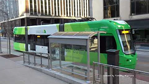
PHOTOS
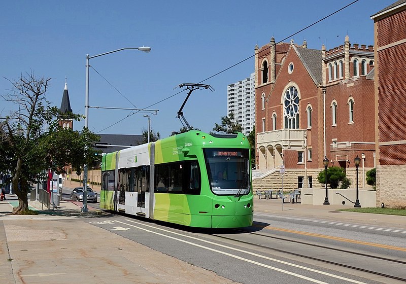 |
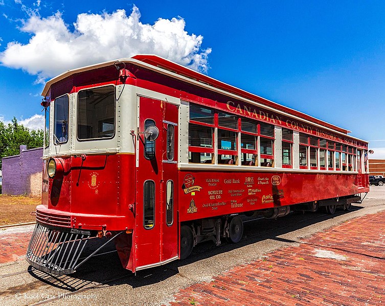 |
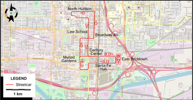
MAPS
OKLAHOMA CITY
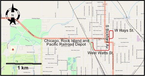
EL RENO
I created the above maps by overlaying OpenStreetMap (OSM) maps with my own data. The underlying map data is © OpenStreetMap contributors, licensed under the Open Database License (ODbL).
Please note that the OSM maps used as a template for these maps corresponds to the situation at the time the map was downloaded and may show features that did not exist at the time the GS Tram Site is supposed to show. In particular, it may show bridges and highways that were built later.
STREETCAR ROUTES
OKLAHOMA CITY
Operator: EMBARK
| B | Bricktown Loop | East Bricktown - Santa Fe Hub - Myriad Gardens - Century Center - East Bricktown [Loop route, clockwise, Fridays and Weekends only] |
| D | Downtown Loop | East Bricktown - Santa Fe Hub - Myriad Gardens - Broadway Av. - North Hudson - Law School - Century Center - East Bricktown [Loop route, mostly clockwise] |
The route designations B & D are for convenience only; they are not used by the operator.
EL RENO
Heritage streetcar line
Operator: Canadian County Historical Society
| Heritage Express | Chicago, Rock Island and Pacific Railroad Depot - West Watts St. - S Bickford Av. - W Hays St. (Loop) |
CHARACTERISTICS OF THE SYSTEM
NETWORK LENGTH
- Oklahoma City Streetcar lines: 7.7 km.
- El Reno heritage line: 2.4 km.
HISTORY
- Electric streetcars: 1 Feb. 1903 - 30 Apr. 1947
- Interurbans: 3 Dec. 1911 - 27 Sept. 1947.
- LRT: 14 Dec. 2018 - today.
- El Reno heritage streetcar line: 25 Aug. 2001 - today
GAUGE
- 1435 mm. (all systems)
SOURCES
- Ehrlich, P. & Johnston, S. "Oklahoma City: OKC Streetcar: A new chapter in the Cinderella story", Tramways & Urban Transit, Apr. 2019 (82: 976), p.139-142.
- Maguire, S.D. & Chandler, M.S.A. "When Oklahoma took the trolley", Interurban Press Bulletin, 1980.
- "OKC Streetcar to open in December", Tramways & Urban Transit, Jan. 2019 (82: 973), p.8.
WIKIS
WEB SITES
- Heritage Express Trolley
- Oklahoma City streetcar
- Oklahoma Streetcars and Interurbans
- Streetcars in Oklahoma City (from the Metropolitan Library System)
Also, many thanks to Mr Russell Powers of Lone Tree, CO, USA, for kindly sending me information and documents concerning the history of the Oklahoma City streetcar, LRT and interurban systems. Thanks are also due to Mr John Rossman of New York City for information about the interurban routing in El Reno.
Copyright Gabor Sandi 1998-2026
Disclaimer: Everything on this site was written and/or prepared at the author's discretion. The author has tried to be accurate where facts are presented, but this does not mean that these facts are necessarily accurate. People needing more reliable information should refer to appropriate sources presented, on the Internet or elsewhere, by authoritative professional or academic bodies.
To get in touch with the webmaster, send an e-mail to g_sandi at hotmail.com.
Flags on this site are from the FOTW Flags Of The World website.