 |
 |
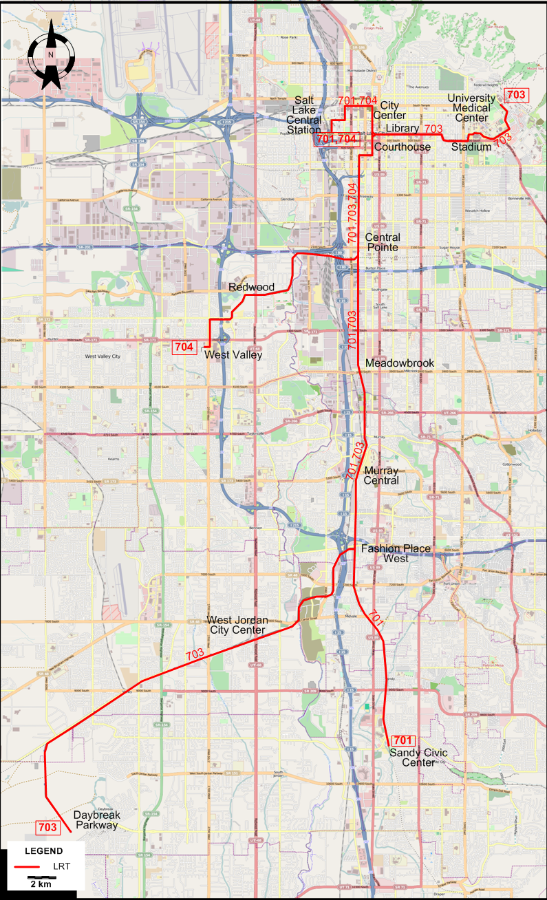
I created the above map by overlaying OpenStreetMap (OSM) maps with my own data. The underlying map data is © OpenStreetMap contributors, licensed under the Open Database License (ODbL).
Please note that the OSM map used as a template for this map corresponds to the situation at the time the map was downloaded and may show features that did not exist at the time the GS Tram Site is supposed to show. In particular, it may show bridges and highways that were built later.
LIGHT RAIL ROUTES
Operator: UTA (Utah Transit Authority)
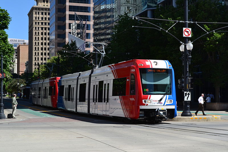
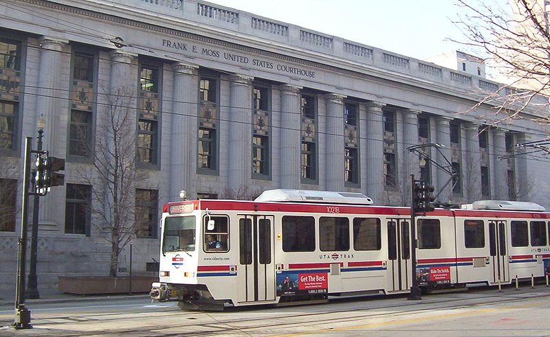
| 701 | SLC / Sandy Line (Blue Line) | Sandy Civic Center - Fashion Place West - Murray Central - Meadowbrook - Central Pointe - Courthouse - City Center - Salt Lake Central Station |
| 703 | Mid Jordan / University Line (Red Line) | Daybreak Parkway - West Jordan City Center - Fashion Place West - Murray Central - Meadowbrook - Central Pointe - Courthouse - Library - Stadium - University Medical Center |
| 704 | West Valley Line (Green Line) | West Valley - Redwood - Central Pointe - Courthouse - City Center - Salt Lake Central Station |
CHARACTERISTICS OF THE SYSTEM
NETWORK LENGTH
- LRT lines: 57 km.
HISTORY
- Streetcars (first-generation): (horse-powered) 24 June 1872 - ?; (electric) 8 Aug. 1889 - 19 Aug. 1945
- Streetcars (second-generation): 7 Dec. 2013 - today.
- Light rail: 4 Dec. 1999 - today.
GAUGE
- First-generation streetcars: ? mm.
- Second-generation steetcars: 1435 mm.
- LRT: 1435 mm.
SOURCES
- Mac Sebree, B. "Salt Lake City - Trams for the Olympics", Tramways & Urban Transit, Nov. 1998 (61: 731), p.420-423.
- Simons, V. "Salt Lake City update - Where Sugar meets Salt for Utah LRT", Tramways & Urban Transit, Sept. 2014 (77: 921), p.396.
- Vigrass, J.W. "Salt Lake City: TRAX is US's newest light rail line", Tramways & Urban Transit, March 2001 (63: 759), p.93-95.
- Vigrass, J.W. "Salt Lake City: US's newest light rail line", Tramways & Urban Transit, Feb. 2001 (63: 758), p.56-58.
- Vigrass, J.W. "TRAX: US's newest light rail network", Tramways & Urban Transit, Apr. 2001 (63: 760), p.138-139.
WIKIS
WEB SITES
- Salt Lake City (on UrbanRail.Net)
- UTA (Utah Transit Authority)
Copyright Gabor Sandi 1998-2026
Disclaimer: Everything on this site was written and/or prepared at the author's discretion. The author has tried to be accurate where facts are presented, but this does not mean that these facts are necessarily accurate. People needing more reliable information should refer to appropriate sources presented, on the Internet or elsewhere, by authoritative professional or academic bodies.
To get in touch with the webmaster, send an e-mail to g_sandi at hotmail.com.
Flags on this site are from the FOTW Flags Of The World website.